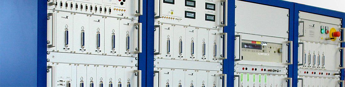
From the first specification to ongoing maintenance, we support you with quality components and complete turnkey systems.

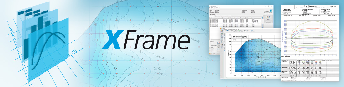
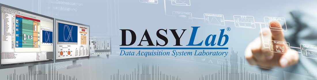
From data input, structuring and storage of the data, until to an automatic report generation, we develop the perfect solution for your test data analysis requirements.